
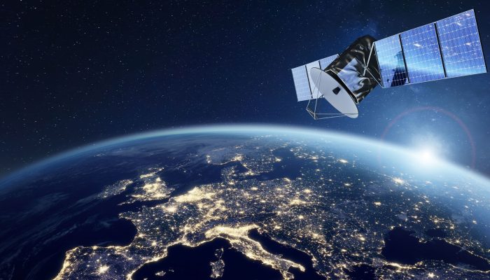
Agentic AI and LEO Constellations – Off-earth Tools for Business Revolution
Why talk of AAI and satellites? Because they aid business and development.
The Executive’s New Eye in the Sky
At FRIENDS Consult, we believe technologies like Artificial Intelligence, geospatial intelligence, and other digital innovations help with solutions that strengthen decision-making, resilience, and sustainable development across multiple sectors. The convergence of Agentic AI and Low Earth Orbit (LEO) satellite constellations provide transformative technologies that can help governments, development partners and businesses to harness real-time intelligence for greater operational efficiency and impact.
For decades, satellite data was a luxury of patience. If a supply chain got disrupted, crops failed, or a security breach occurred, business leaders found out days after the fact.
In today’s hyper accelerated markets, information latency is financial liability. The convergence of Agentic AI and Low Earth Orbit (LEO) satellite constellations is fundamentally changing the physics of business intelligence and speed. By moving active, reasoning intelligence into space, companies can transition from reactive observation to proactive execution. For executives, this means near-instantaneous situational awareness, dramatically reduced time-to-decision, and the ability to mitigate risks like sudden maritime bottlenecks or an emerging natural disaster before they impact significantly on the bottom line.
The Shift to Onboard Processing
Today, modern LEO spacecrafts can be equipped with radiation hardened space rated computing hardware. This enables onboard processing so that the system itself can detect anomalies, interpret context, and prioritize relevant data without requiring continuous ground-station control.
From Automation to Autonomy
The real breakthrough lies in upgrading systems from simple “edge AI” (which only recognizes patterns) to agentic AI (which reasons and executes). Rather than streaming massive, uncompressed videos back to Earth, an autonomous satellite agent can plan multi step operations. For example, if it detects the early stages of a wildfire or illegal maritime activity, the AI agent can autonomously:
- Adjust its own pointing angle to tracking coordinates.
- Capture higher-resolution imagery of the designated target area.
- Route critical alerts directly to field responders on the ground.
Collaborative Orbital Networks (CON)
In CON, intelligent orchestration relies on multi agent systems that collaborate in orbit, sharing context with neighbouring satellites to optimize communications and task distribution. This enhances the even better and more useful data to be collected and processed in space.
Ultimately, this evolution reshapes geospatial intelligence from a system of record into a system of intelligent, proactive action. By moving autonomous decision making to the final frontier, organizations can respond to natural disasters, track supply chain disruptions, and secure borders in near-real time. This is good for business, the economy and larger society.
Dr. Keren Obara
Projects Officer, Marketing and Innovation, FCL