
How Satellites Will Aid Credit Scoring in East Africa?
Good things often come from unlikely sources and for East Africa’s agribusiness finance, ease of loan underwriting could be helped by satellite technology.
How?
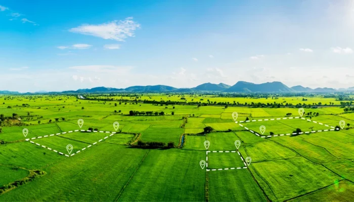
Financial institutions serving thousands of smallholder-farmers, or even large farmers, could rely on real time satellite data to manage their greatest lending risk – weather unpredictability. If well used, satellite data offers East Africa a pathway away from collateral heavy lending toward evidence based, climate aware agricultural finance. Rather than evaluating smallholders solely through bank records, costly visits or on-farm records, lenders can combine Earth Observation Imagery (EOI) with farm locations, mobile money transactions, local weather, and historical repayment behavior to assess creditworthiness.
Machine Learning Models
Satellites like Copernicus Sentinel 2 capture land cover, vegetation condition, and water indicators. Machine learning models transform these physical signals into estimates of plot size, crop health, seasonal performance, and yield expectations. Because remotely sensed indicators explain variation in agricultural yield and thus credit risk, this technology creates assessment bases for smallholder borrowers who lack formal credit histories or conventional collateral.
Existing Architecture
Initiatives across Kenya, Uganda, Tanzania, and Rwanda demonstrate this model’s regional potential. Lenders like FarmDrive and Apollo Agriculture have explored merging satellite data, precise GPS mapping, and mobile financial activity into comprehensive borrower profiles.
Some Challenge
Experimental deployments highlight some limitations. Satellite data is not a standalone solution; inaccurate GPS plot boundaries, heavy cloud cover, micro-sized farm plots, and algorithmic bias can distort risk assessments. That said, satellite data still provides reliable bases for weather related risk prediction. The challenge is to be addressed not dreaded.
The most effective approach relies on blended intelligence: satellite imagery evaluates the productive asset, financial data provides borrower context, and AI integrates the parameters to support, rather than replace, credit officers. Regulatory oversight is equally vital. Frameworks like Uganda’s Data Protection and Privacy Act and Kenya’s framework for Automated Decision-Making (ADM) ensure data collection remains lawful, transparent, and fair.
Conclusion
Ultimately, satellite credit scoring turns hard to observe rural economic activity into actionable risk intelligence. Bridging space technology with local financial ecosystems provides lenders a clear view of smallholder economic reality, expanding credit access across East Africa responsibly.
FCL BLOOMTECH Ltd, a recently incorporated tech subsidiary of FRIENDS Consult Ltd, is making preparations to rent space from some earth-orbiting and stationery satellites to capture spatial data and avail it real time. This should boost Uganda’s agricultural finance. I am happy to be championing it.
Dr. Keren Obara.
Projects Officer, Marketing and Innovation, FCL.